[Preferences] (P)
Description: Displays the [Preferences] dialog (Figure 117 to Figure 124). Set the preference settings and click on [OK].
[General] Tab
General settings about iRIC GUI is specified in this tab.
If you check on “Check for update periodically”, a dialog to ask you to check for iRIC online update is shown, with the specified interval.
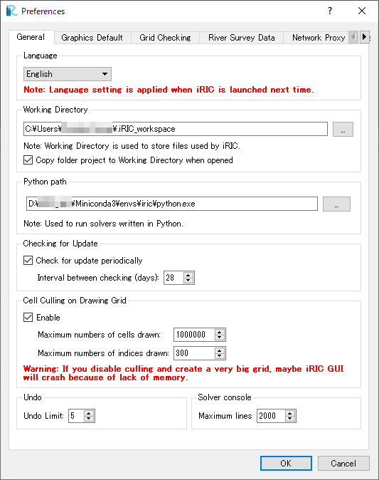
Figure 117 The [Preferences] dialog [General] tab
[Graphics Default] tab
Default settings about graphics is specified in this tab. Settings in this tab is used for pre-processor window and visualization windows.
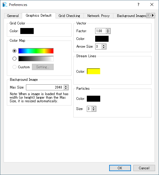
Figure 118 The [Preferences] dialog [Graphics Default] tab
[Grid Checking] tab
Setting about grid checking is specified in this tab.
As shown on the dialog, grid checking is applied only to structured grids.
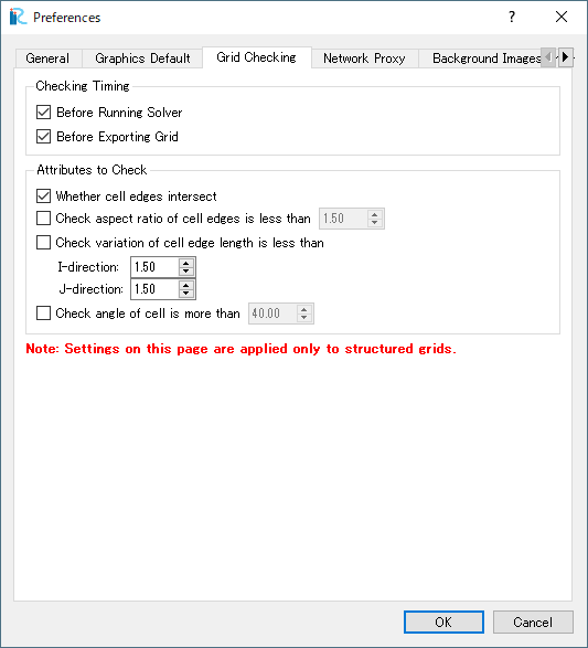
Figure 119 The [Preferences] dialog [Grid Checking] tab
[River Survey Data] tab
Setting about editing [River Survey Data] is specified in this tab.
You can edit the list of gradient fractions used while editing cross section of river survey data.
Please refer to [Edit cross section from the selected point] for the detail of cross section edit function of river survey data.
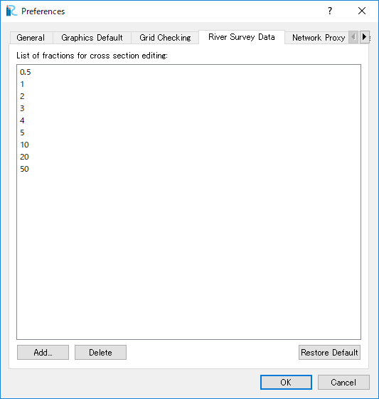
Figure 120 Then [Preferences] dialog [River Survey Data] tab
[Network Proxy] tab
Setting about Network Proxy is specified in this tab. The setting is used when iRIC GUI tries to access internet, for example to get background images from web, and download and import elevation data from web.
If you need to use proxy server to access Internet, please specify setting here.
When [Use system proxy setting] is selected, The settings used by your PC’s system is used.
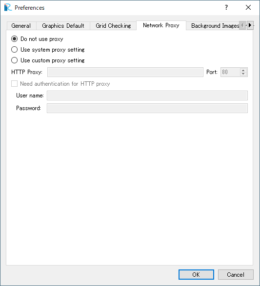
Figure 121 The [Preferences] dialog [Network Proxy] tab
[Background Images (Internet)] tab
Setting about Background Images (Internet) can be specified here.
When you edit the setting, the new setting is applied to Pre-processing Window and 2D Post-processing Windows.
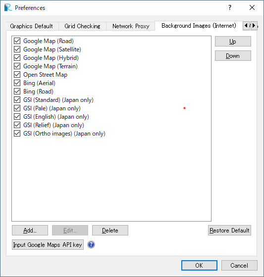
Figure 122 The [Preferences] dialog [Background Images (Internet)] tab
In 2018, Google migrated Google Maps into Google Maps Platform, and now we need to input API key to use Google Maps images as Backgound Images on iRIC. Input API key from “Input Google Maps API key” button.
Please refer the following URL to know how to get a API key:
[Web Elevation Data] tab
Setting about importing Geographic data from web is specified here.
When you edit the setting, the new setting is applied to the [Source] combo box on the [Zoom Level Setting] dialog for [Geographic Data (from web)].
Please refer to [Geographic Data (from web)] for detail.
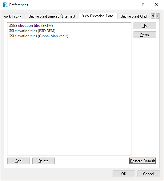
Figure 123 The [Preferences] dialog [Web Elevation Data] tab
[Background Grid] tab
Setting about Background Grid is specified here.
The setting here is applied when you use River survey data as geographic data, and create grids and map the elevation from the river survey data, with grid creating algorithm other than [Create grid from river survey data].
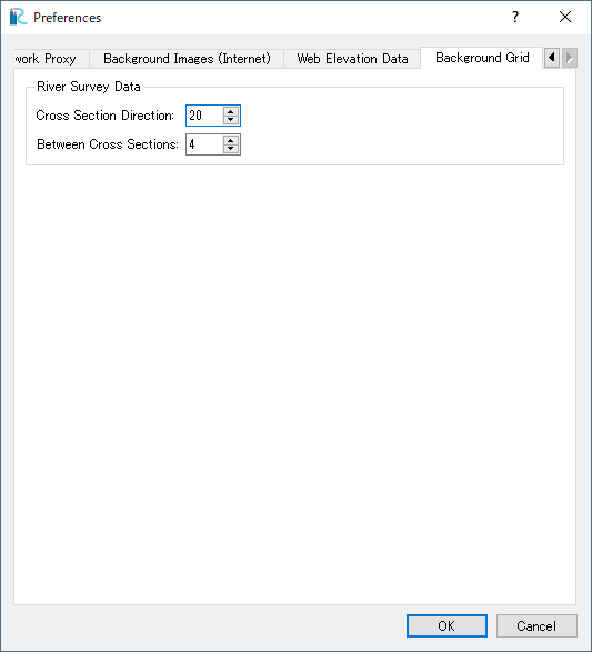
Figure 124 The [Preferences] dialog [Background Grid] tab